The best road you’ll ever drive might be closer than you think
We scored more than a million miles of American road by their actual shape, so you can find the twistiest drives near you and plan a route along them.
Free. No account needed to plan, save or export; sign in to keep your routes across devices.
 © Mapbox © OpenStreetMap
Your next great drive is on the map.
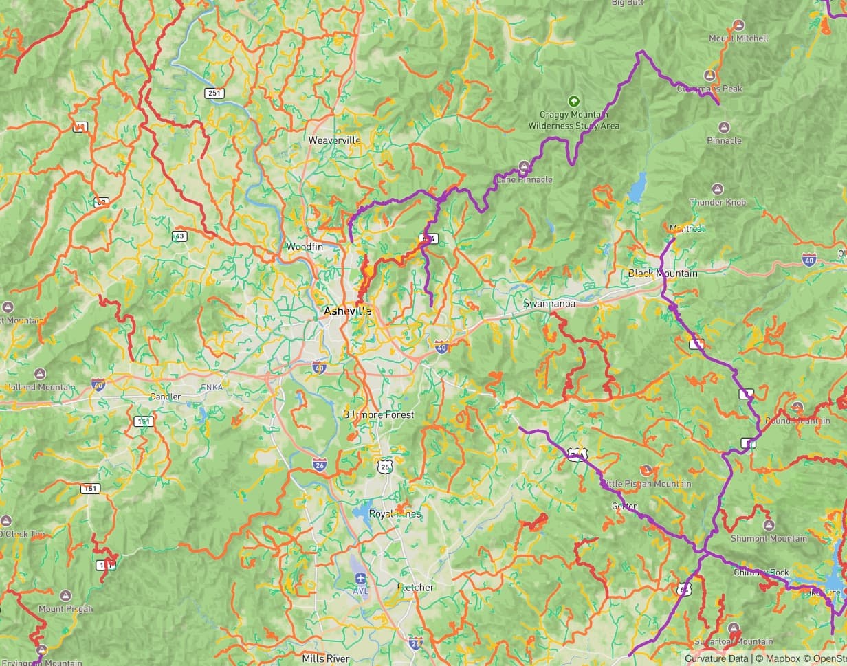
Real roads. Rated by every bend.
What we count: roads from highways to back lanes, leaving out dirt and gravel, driveways, parking lots and unnamed side streets. Each road is split wherever it runs straight for more than a mile and a half, and only the sections with real bends are kept: about a quarter of America's road miles.
Build your perfect route
Click the roads you want to drive, in the order you want to drive them, and the planner routes you along them.
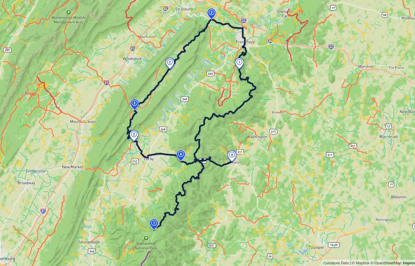
A day in Shenandoah
Example route · Virginia
- 1Skyline Drive45.9 mi · whole road · Legendary
- 2Fort Valley Road (SR 678)11.4 mi · whole road · Technical
- 3Camp Roosevelt Road (SR 675)7.8 mi · whole road · Technical
- 4US Highway 211 (US 211)10.6 mi · whole road · Expert
 © Mapbox © OpenStreetMap
A real drive, planned in the planner from the same road data. Open it and build your own.
Find the roads
Roads in all 50 states are color-coded by how twisty they are, from Spirited to Legendary. Tap one and the whole road joins your route, end to end.
- SPIRITED
- ENGAGING
- TECHNICAL
- EXPERT
- LEGENDARY
Shape your route
Add roads, or single points, in the order you want to drive them and the route follows, with total miles, estimated driving time and a road rating for the whole drive.
Hit the road
Save your route, export it as GPX or KML for your GPS app, or make it public to share it and list it in the Route Library.
Spirited doesn't mean reckless. Drive within the law and your limits, and watch for cyclists, wildlife and one-lane sections. Driving safety
Legendary roads, by the numbers
Three of the 1,094 road sections our analysis rates Legendary, the twistiest tier. You know one of them. The other two might surprise you.
Angeles Crest Highway
Climbs from La Cañada Flintridge into the San Gabriel Mountains.
Mount Hamilton Road
Climbs from the edge of San Jose to Lick Observatory on the summit, then on into the back country to the east.
Bearwallow Road
A mountain back road in far southwest Virginia, and the most intense of the three, with more curvature per mile than either.
A road's curvature score adds up every bend along it, weighted by how tight the bend is, so long roads score high. The rank compares that total across all 1,094 Legendary sections; per mile shows how packed the bends are, with its own rank.
Built by someone who takes the long way home
Some of my earliest memories are from the passenger seat of my dad’s 1968 Jaguar E-Type. I had an official job: Navigator. So I built the tool I always wanted.
Read the storyThe open road is calling
More than 380,000 miles of twisty road, mapped across every state. Find yours.